Start by Identifying Your Purpose
Different life goals call for different planetary lines. If you're seeking career advancement and recognition, prioritize your Sun MC or Jupiter MC lines. If you want to find love or improve relationships, focus on your Venus DSC or Moon DSC lines. For a peaceful, nurturing home environment, look at your Moon IC or Venus IC lines. For creative or intellectual growth, explore Mercury or Neptune lines. Knowing what you want before you look at your map prevents you from chasing every line and helps you make intentional decisions about where to invest your time and energy.
Test Lines Before Committing
You don't need to relocate permanently to feel a planetary line's influence. Visit cities on or near your lines for a few days or weeks first. Pay attention to how you feel, how easily things flow, and whether the environment supports your goals. Many people report that the line's energy becomes apparent within the first 24–48 hours of arrival. This testing approach is especially important for challenging lines like Mars or Saturn, where the demands of the location may outweigh the benefits for your current life situation.
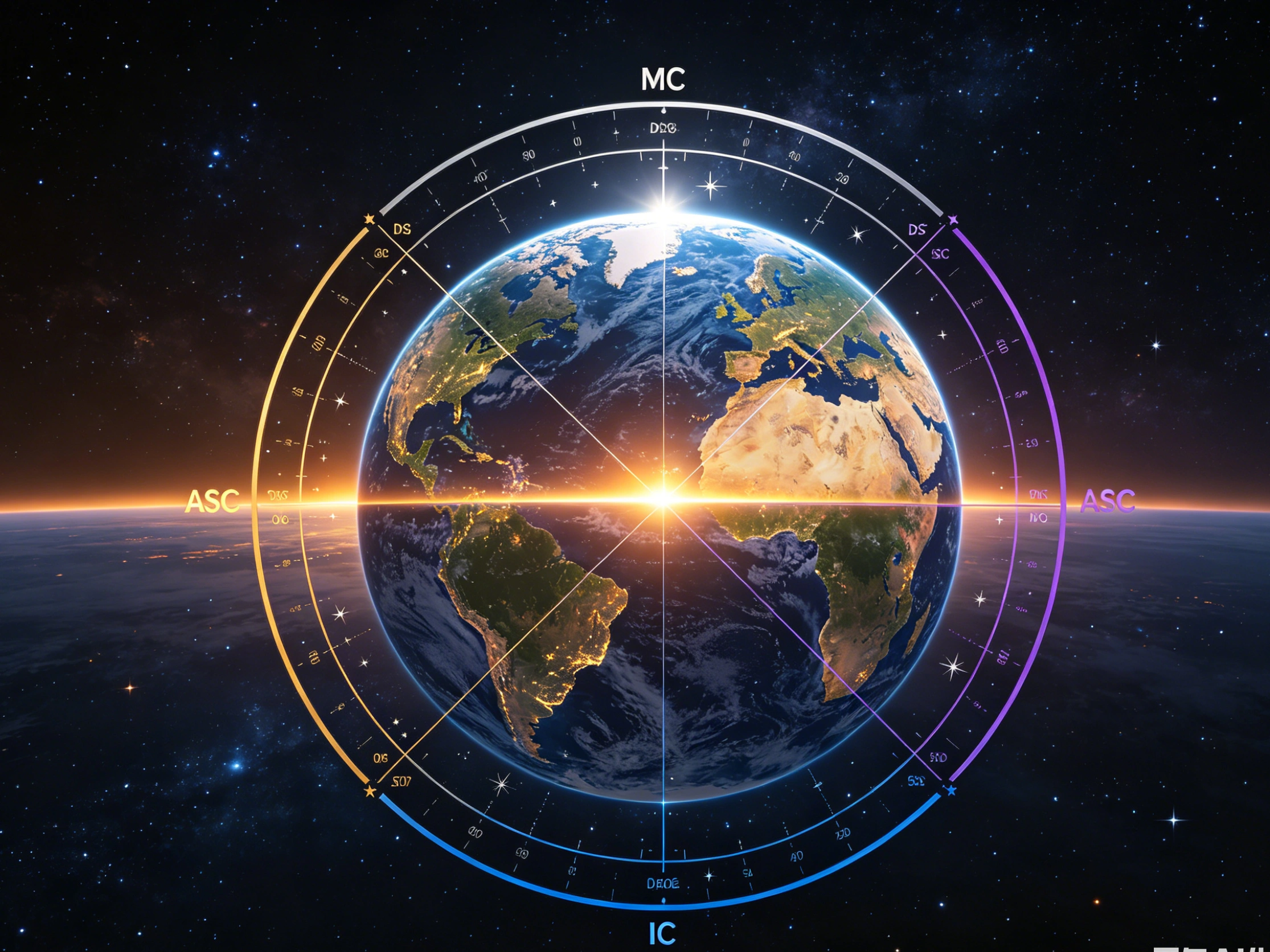
Consider Overlapping Lines and Power Spots
Where two or more planetary lines cross on your map, a 'power spot' or 'paran zone' is created. These locations activate multiple planetary energies simultaneously, making them particularly complex and intense. A Jupiter-Venus power spot might create an exceptionally romantic and abundant atmosphere, while a Mars-Saturn crossing can feel especially demanding and pressurized. When evaluating a potential location, always check not only which individual lines pass through it, but also which combination of energies is active. Some of the world's most significant cities in people's lives fall on these multi-line intersections.
Use Your Chart to Understand, Not Limit
Astrocartography lines are a framework for understanding geographic energy patterns, not a set of restrictions. You can live happily and successfully anywhere—your lines simply reveal where certain qualities come more naturally versus where you need to work harder. Many people find that living on a challenging Saturn or Mars line builds their greatest strengths over time. Others choose locations with no strong lines to enjoy a more neutral, self-directed environment. Think of your lines as one lens among many when making location decisions, alongside practical factors like family, career opportunities, and cost of living.
Which Astrocartography Line Is Best for Your Goal?
The best line depends entirely on what you're seeking. For love and romance, Venus DSC is the most powerful—widely known as the 'honeymoon line.' For career growth and recognition, Jupiter MC or Sun MC are the strongest choices. For a true sense of home and belonging, Moon IC is consistently the top recommendation. For lasting professional authority through mastery, Saturn MC builds the most durable reputation. For ambition and entrepreneurial drive, Mars MC is unmatched. For communication, writing, and business, Mercury MC is the most targeted placement. For personal confidence and identity, Sun ASC or Venus ASC are both excellent. No single line is universally 'best'—the right line is the one that matches what you actually want from a location right now.